Day 11.
I drive to
Marahau, where I have booked a water taxi at 9:00am to bring me to the beach
Bark Bay – from here I plan to walk the 24km back to Marahau (along the high
tide track, since we are too early to make use of the shortcut from the low
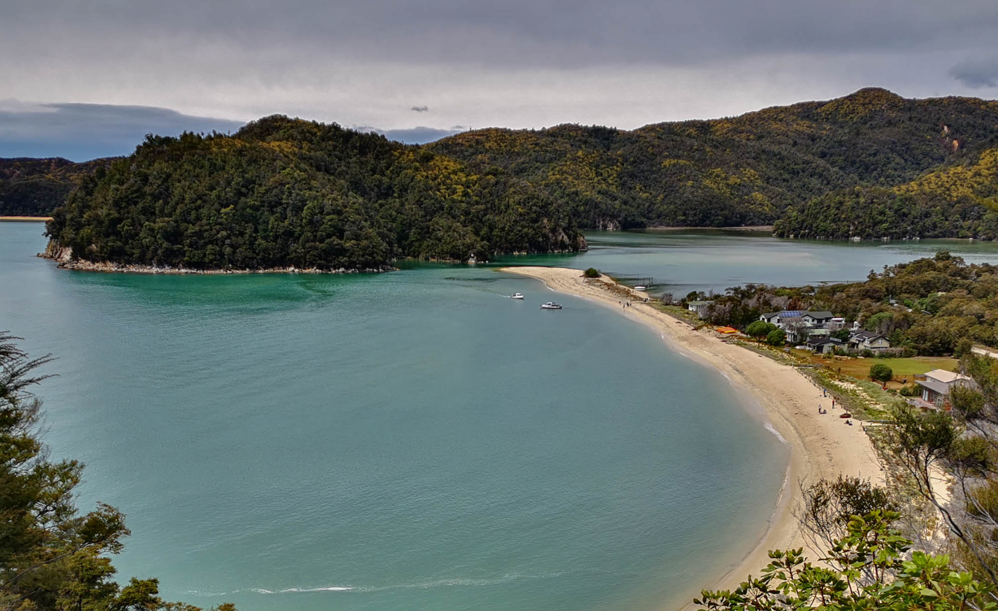
tide). The water taxi brings us around to a couple of views, first the Split Apple
Rock, and next to see seals. At 9:50 we have arrived at Bark Bay beach, and
it’s about to head south. I first have a chat with a lady originally from
Finland – she’s a huge LOTR fan, so she just had to go to New Zealand. She has
later stayed on a work visa, and now works as a Landscaper in the northern
island. Next, I meet a guy from Germany, Christopher, and we walk a large part
of the trek together while we exchange travel experiences and ideas for New
Zealand, and other places we have visited around the globe. The trek is mainly along
a narrow path engulfed in a dense rainforest. There are almost no places to
look-out on the sea and lagunes, so it rather quickly becomes monotonously and to
the boring side. A short detour to Cleopatras pool (no milk) is one of the
highlights and else to walk along a couple of the beaches with clear water. I
have brought trekking sandals because the trek is flat and simple, and also to
walk in the water along the beaches and a few brooks. A mental note – although refreshing,
then there will uninvitedlycome sand in the sandals, and this is not the most pleasant
scrub for the feet. ‘Surpricingly’, I do also not see other people walking this
tour in sandals. After 20km I have to bandage the feets several places (already
too late), and shift to sneakers and a slower, clumsy walk the last kilometers…
After 6 hours and 20 minutes I arrive at the camper, including lunch break,
change of cloth, change of shoes, and the slow walk in the end. With the
low-tide the sea is probably 300m further out compared to the morning where we
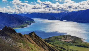
were set off in the water taxi from the pave road. My next destination is a
Freedom camp site not too far from Nelson Lakes, so I can get started on these
hikes tomorrow morning. Google maps has chosen a short route, which for the
last part involves 15km on gravel. When I come to the main road, I can see it’s
blocked in the direction I plan to go tomorrow. I can anyways get to my camp
site, which is placed high and with a nice view of the area. A Dutch guy from a
neighbor camper has also brought his drone, so we end up having both drones for
taking pictures at sunset – no drone race though. On the cell phone (quite good
data coverage most places) I read that there has been a large land slide, and
therefore the road is closed. They recommend a detour, and I just hope it’s not
a long gravel road again.